
Data Annotation / Industrial, Geospatial & AgriTech
Industrial, Geospatial & Agricultural Data
Annotation for application-specific datasets: welding and industrial components, satellite and aerial imagery, and crop and plant imagery. Labels follow domain detail such as weld regions and defects, land boundaries and building footprints, and plant identification and disease classes.
DOMAIN DETAILDECODING / BITS
Data Annotation
Project overview
What we built.
A concise view of the documented implementation and features shipped.
Scope clarification: Examples are taken from the Decoding Bits Data Services portfolio. Client names and datasets are not disclosed.
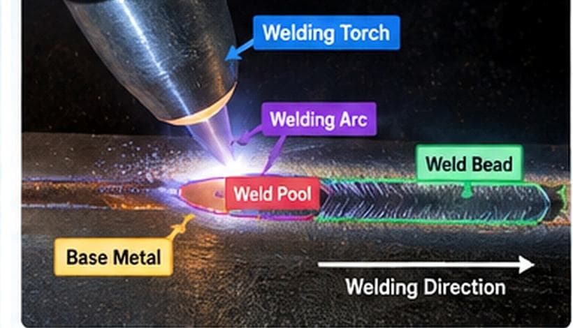
- Welding torch, arc, weld bead, bevel regions and defects
- Industrial component annotation
- Roads, buildings, land features, boundaries and routes in aerial imagery
- Building footprints and land boundaries
- Crop detection and plant identification
- Disease and pest classification
- Plant segmentation and counting
- Also supported: manufacturing, robotics and remote sensing
Implementation
Annotation techniques.
Techniques documented in the Decoding Bits Data Services portfolio for this type of work.
Portfolio examples
Annotation examples.
Illustrative examples from the Decoding Bits Data Services portfolio.
Welding & industrial
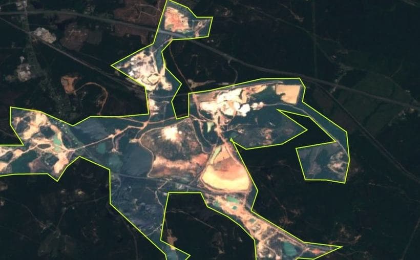
Geospatial annotation
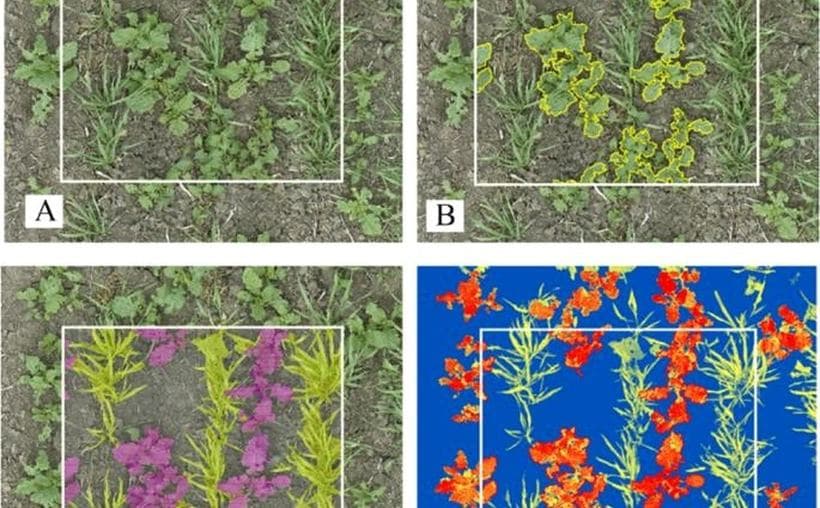
Agriculture & AgriTech
More work
Explore other builds.
Related projects drawn from the approved portfolio.
Build something with us.
Have a similar AI, automation or software challenge?